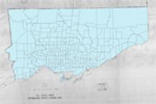
1961 census tract boundary files and attribute data tables for the City of Toronto. Note that the City of Toronto boundaries did not extend as far as they do in this dataset. The boundaries do, however, correspond to the current boundaries of the City of Toronto in 2012.
Creator
Marcel Fortin, Map and Data Library, University of Toronto
Date of creation
2012 Sep
Temporal extent
1961
Publisher
Map and Data Library, University of Toronto (vector); Statistics Canada (raster)
Projection
UTM Zone 17
Datum
NAD83
Data type
Copyright holder
Marcel Fortin, University of Toronto Map and Data Library
Require acknowledgement to use
None
Cost for use
None
Medium
web
Subjects
Geography
Open data
Restrictions
Public
Downloads
FIELDID
15961
Subject
CENSUS TRACT (CT)
Format
GEOGRAPHY MARKUP LANGUAGE (GML)