

What is it?
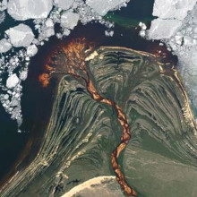
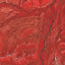
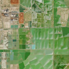
Planet.com is a leading provider of satellite imagery, capturing our dynamic planet's changes, patterns, and developments with high precision. Planet's constellation of Earth-imaging satellites provides high-resolution, frequent imagery capture across the globe.
This powerful resource offers unprecedented insights into our changing planet and numerous research opportunities for our institution. Uses include examining regional change over time (daily, weekly, monthly, quarterly), and performing analyses such as land cover classification and vegetation health assessments.
By requesting a Planet.com account, U of T students, staff, and faculty can gain access to:
• Near-daily 3-meter PlanetScope satellite imagery
• High-resolution SkySat Archive (older than 6 months)
• Extensive training materials through Planet University
• A community of remote sensing scientists and educators on Planet Community
Geographic Coverage: global
Average resolution: 3.7m
Temporal Coverage: from 2009 (some limits) to present
How do I access it?
1. Use the Map and Data Library's contact form (https://mdl.library.utoronto.ca/about/contact-form) to request access. Be sure to note that you're interested in Planet.com and to include your U of T email address.
2. Learn about Planet's data and capabilities on Planet University.
3. Access Planet’s catalog of imagery using Planet Explorer.