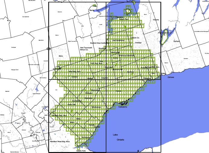
High resolution orthorectified aerial photographs of the greater toronto area
Digital Aerial Photographs, Metropolitan Toronto 1999
| Source: | Triathlon |
| .ca:8090le: | 0.5 metre resolution (one pixel = 50cm) |
| Format: | tif images |
| Access: | University of Toronto faculty, students, and staff, for research and teaching only. Non-Commercial, University of Toronto use only. Please Note: Some images are not linked and must be requested either in person, by email, or by phone. However, requests will only be granted to University of Toronto faculty members, students, and staff
Click on the graphics below to view available areas of coverage. A red dots indcate sheets available either online or at the map library |

Creator
Triathlon Inc.
Date of creation
1999
Temporal extent
1999
Publisher
Triathlon Inc.
Scale
50 cm = 1 pixel
Projection
UTM
Datum
NAD83
Data type
Copyright holder
Triathlon Inc.
Require acknowledgement to use
Citation
Cost for use
None
Medium
CD-Rom, or Web
Geography
Open data
Restrictions
FACULTY STAFF STUDENTS
Index link